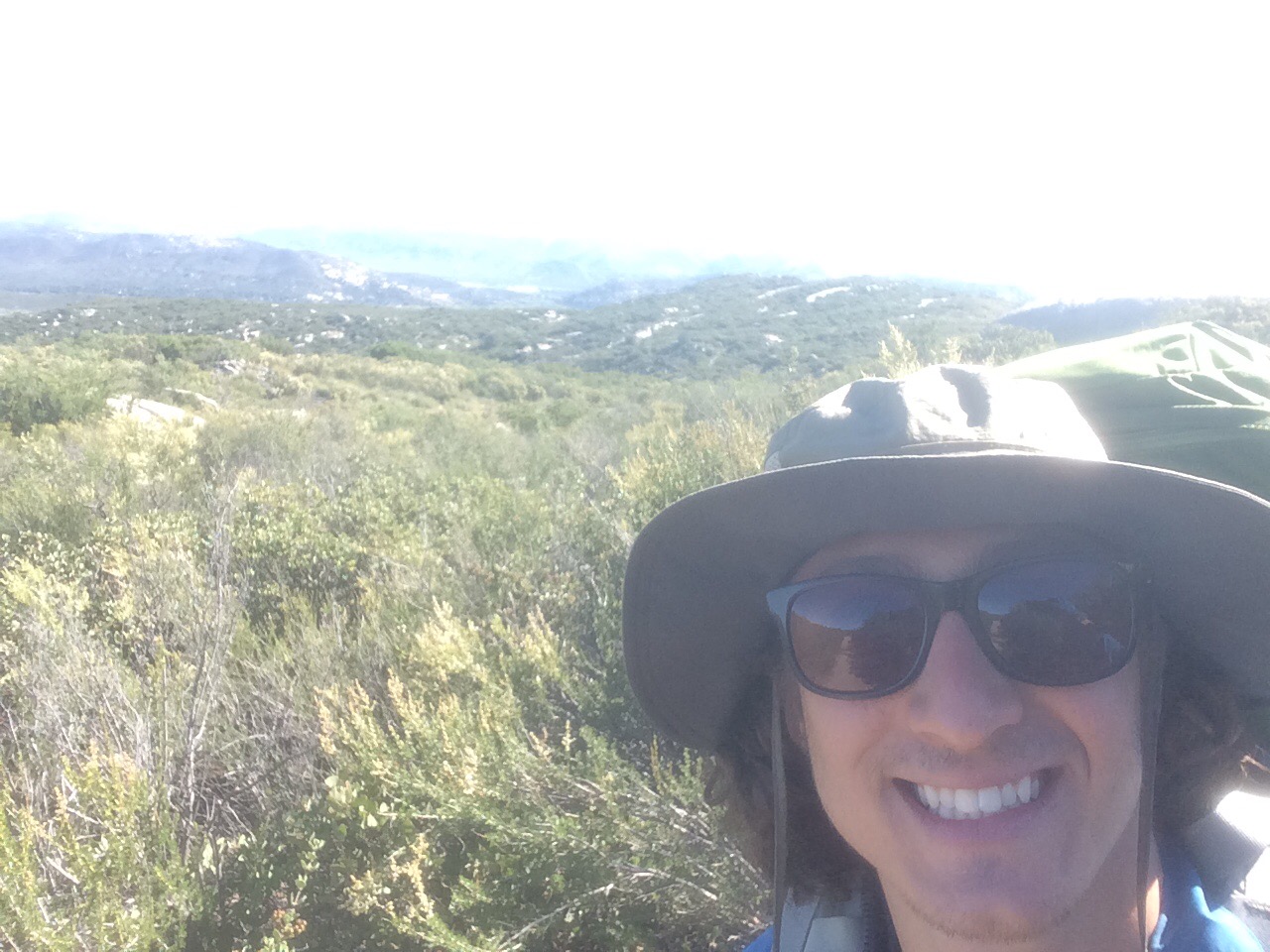
Episode 11: Day 17-18

Day 17:

Woke up bright and early, pumped up, knowing that there is only 5.5 miles between me and my box.

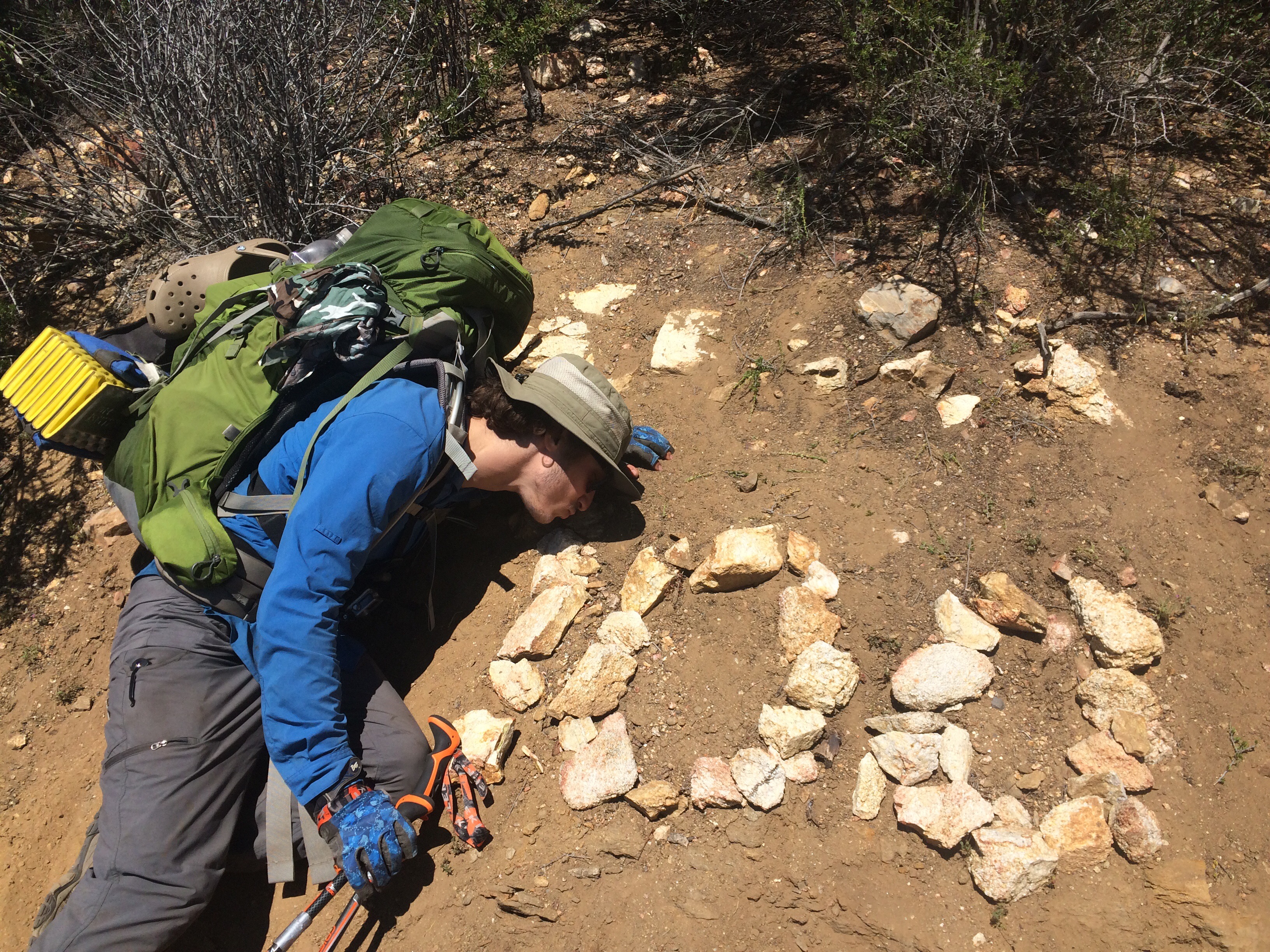
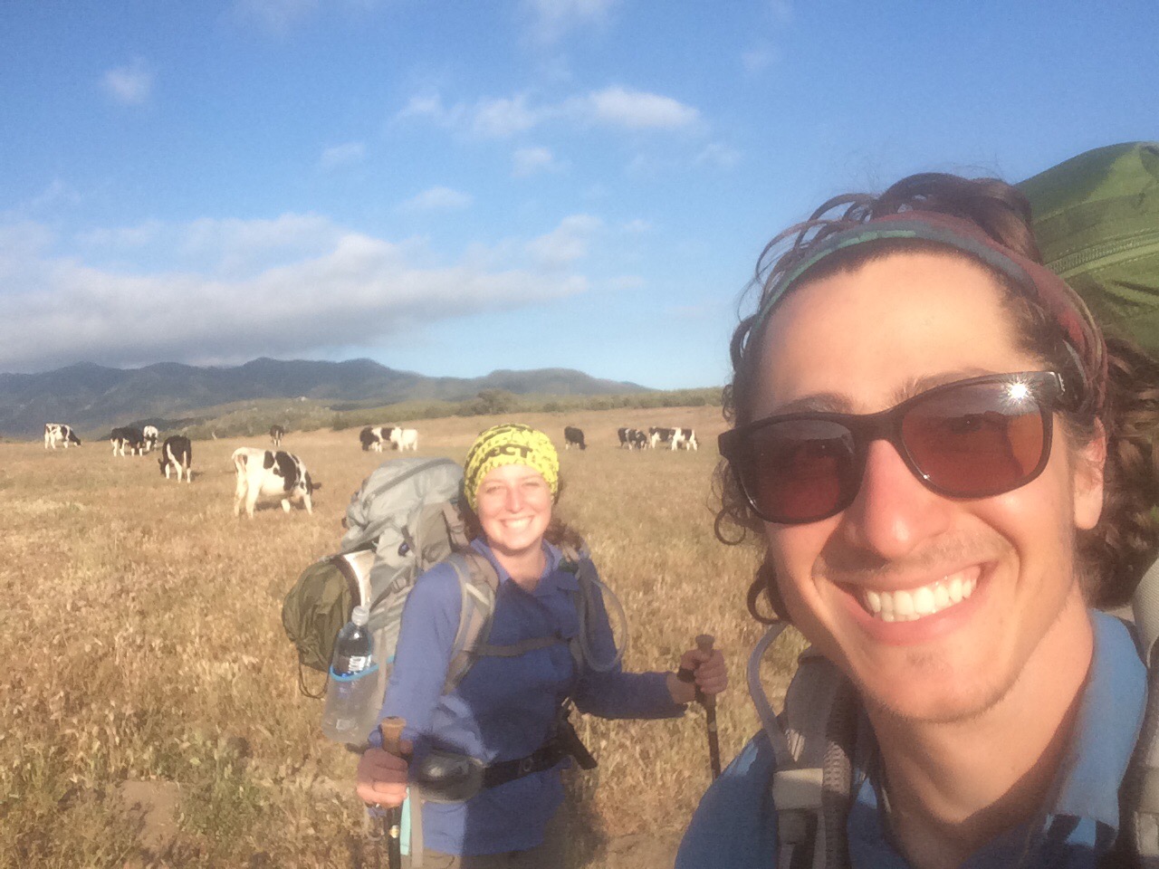
Met Ryan and Xavier at the water and walked together to Ziggy and the Bear (famous Trail Angel house ).

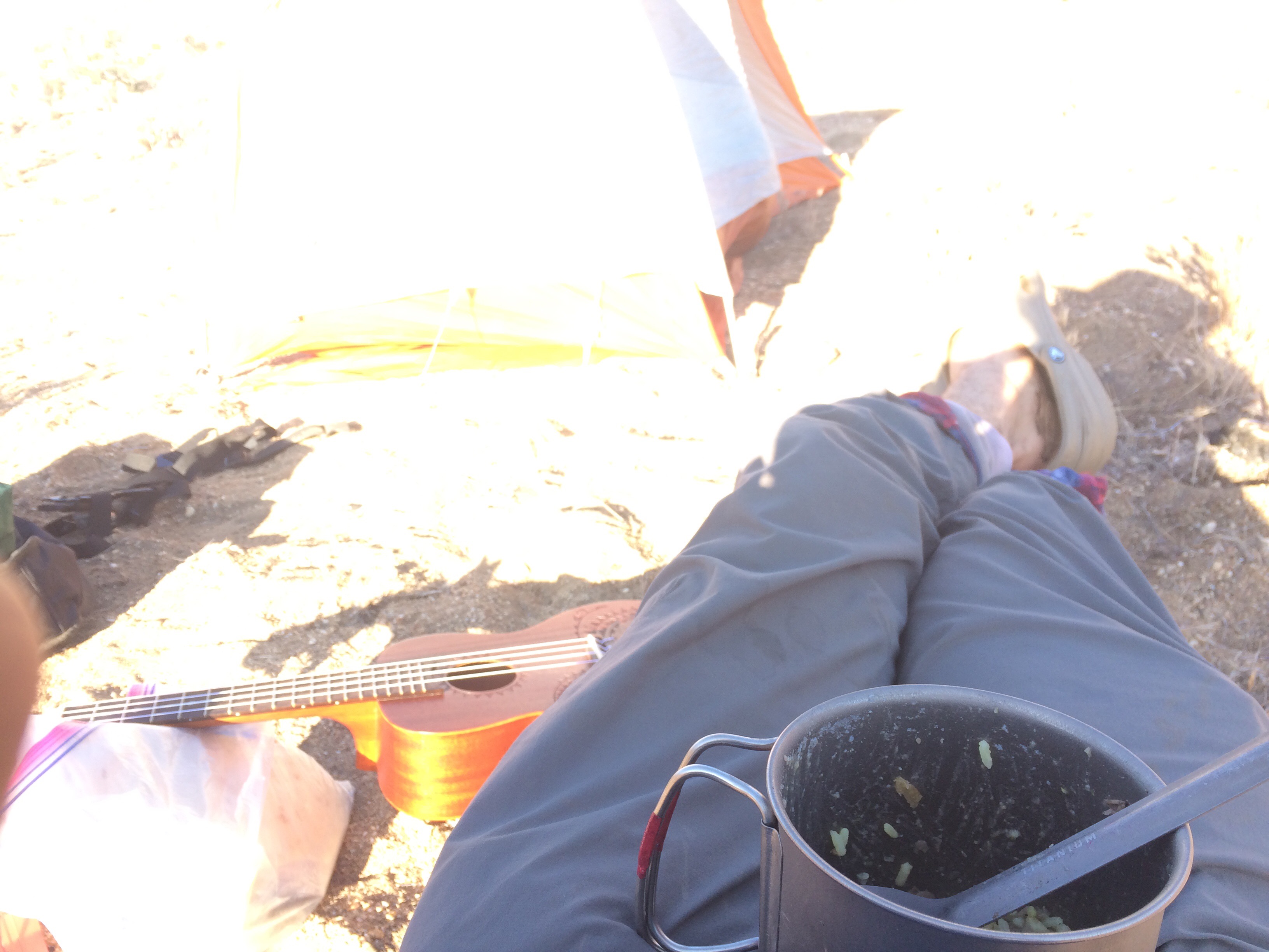
Got there, got my box, and chowed down. Completely demolished a whole day’s worth of food, and it was glorious. 

So yet again, we face a fire closure on the trail. 30ish miles of trail closed with no officially blessed walk around/detour. 

I was on the phone with my mom, discussing what to do, and she said   that when she spoke to Ziggy (of Ziggy and the Bear) on the phone, Ziggy said “most people are taking a bus or a shuttle up to Big Bear.” And there was my answer, I said, “Mom, we both know that I am not ‘most people.’ I’m going to walk around the closure!”

I came out here to walk the most enjoyable continuous footpath from Mexico to Candana, and that’s what I’m going to do. I would rather walk a continuous footpath from Mexico to Washington than to start in Mexico and end in Canada with some parts skipped along the way. So if the PCT isn’t available, I’ll take the next best thing, even if that’s along a busy freeway. I’m committed. 

But hey, that’s just me. People didn’t come out here to road walk, and I totally get that. For every person out here, there is a different goal. More power to them. Hike your own hike!  

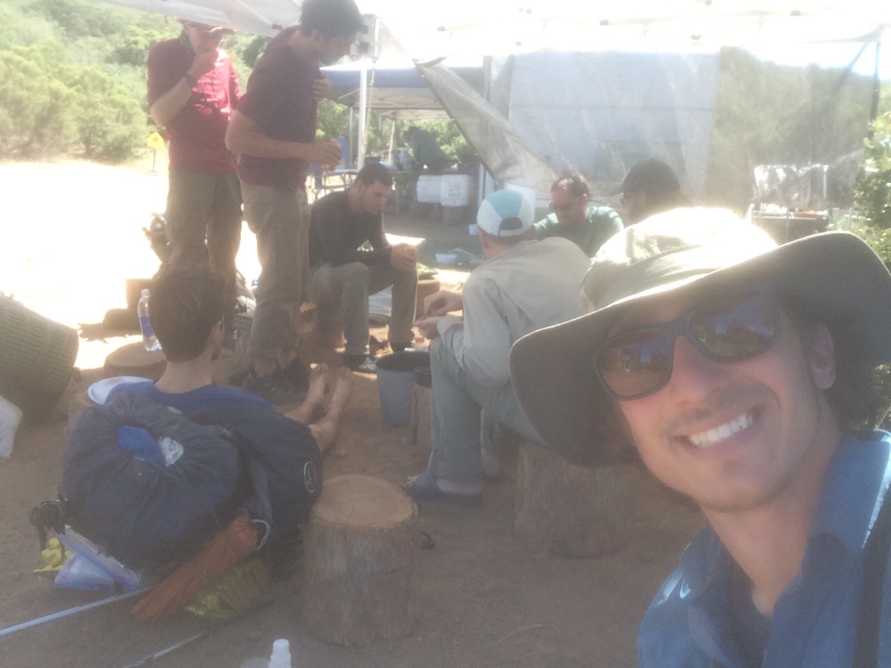
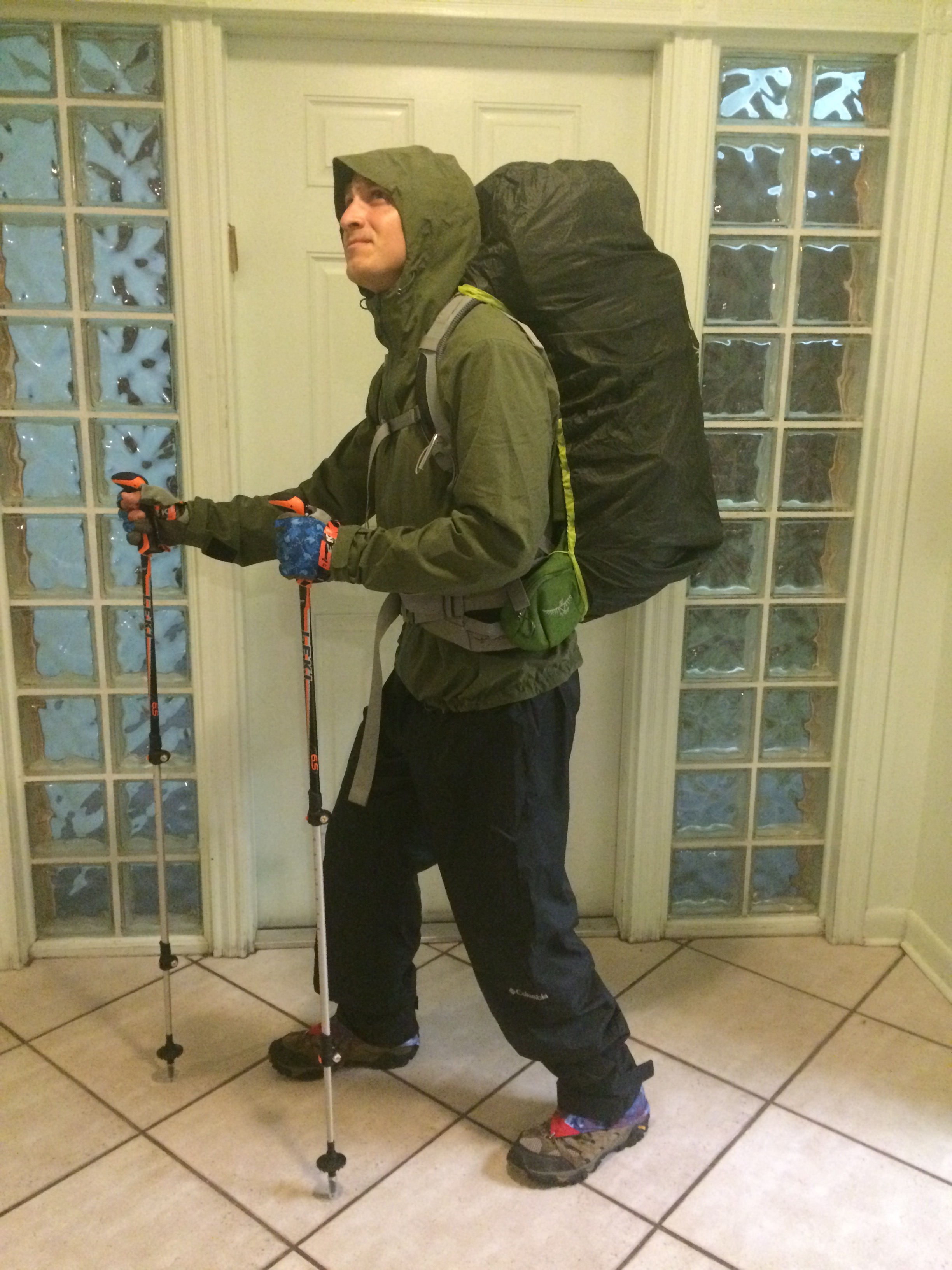
VERY fortunately, three other guys wanted to do the walk around as well, and even more fortunately, THEY HAD AN ACTUALL PLAN. So I teamed up with Matt, Shawn, and Brian. They planned on leaving by 4:30am to beat the heat and make some big miles. They just decided that we were going to walk 24 miles the next day. I didn’t know you could just decide that… 

THE Plan: From whitewater hike along highway 62 to Yucca Valley. Take Pioneertown Rd to Rimrock. Take Burns Canyon Rd to 2N02. Take 2N01 to the trail, mile 255ish. Total = 52 Miles. 

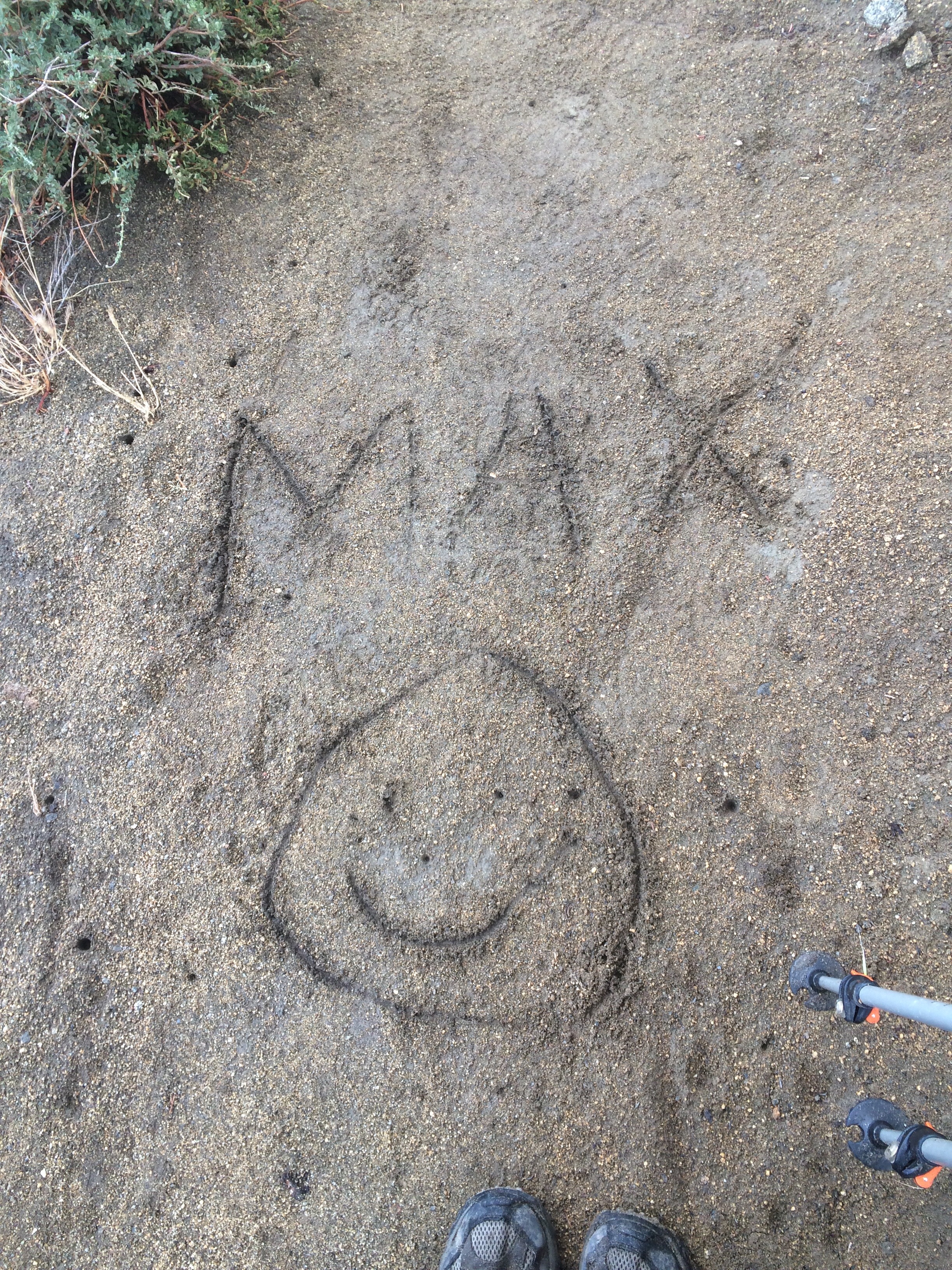
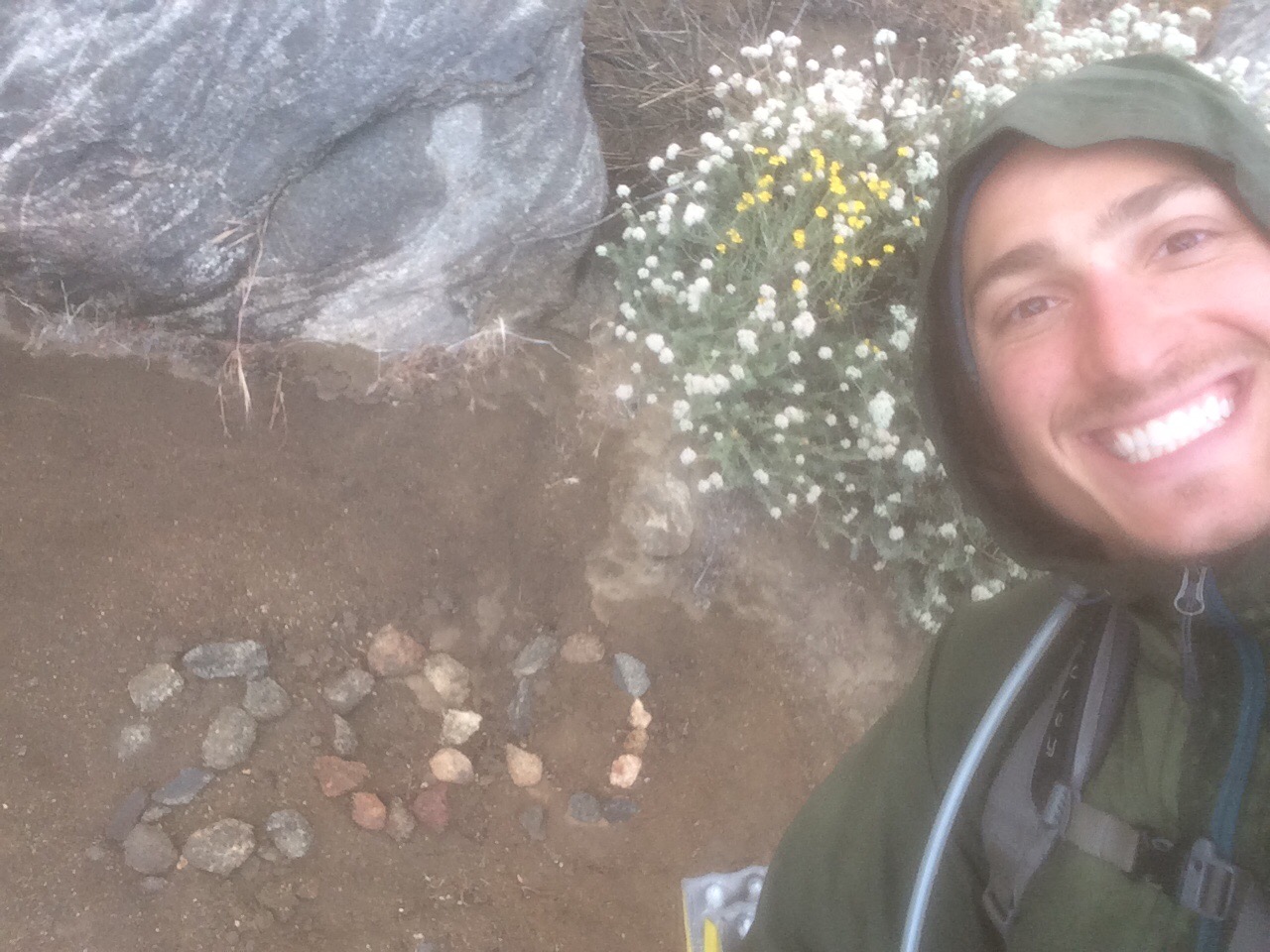
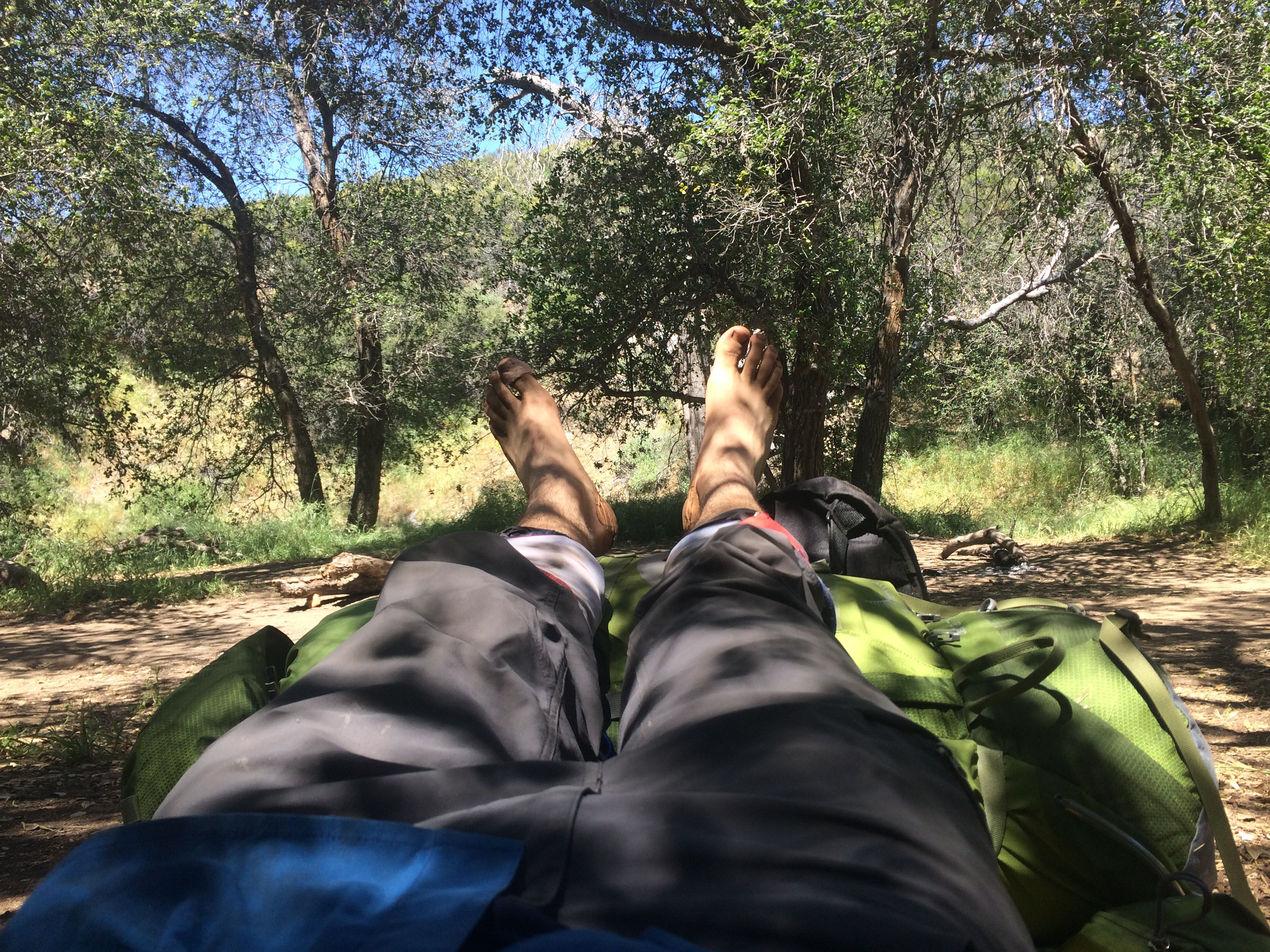
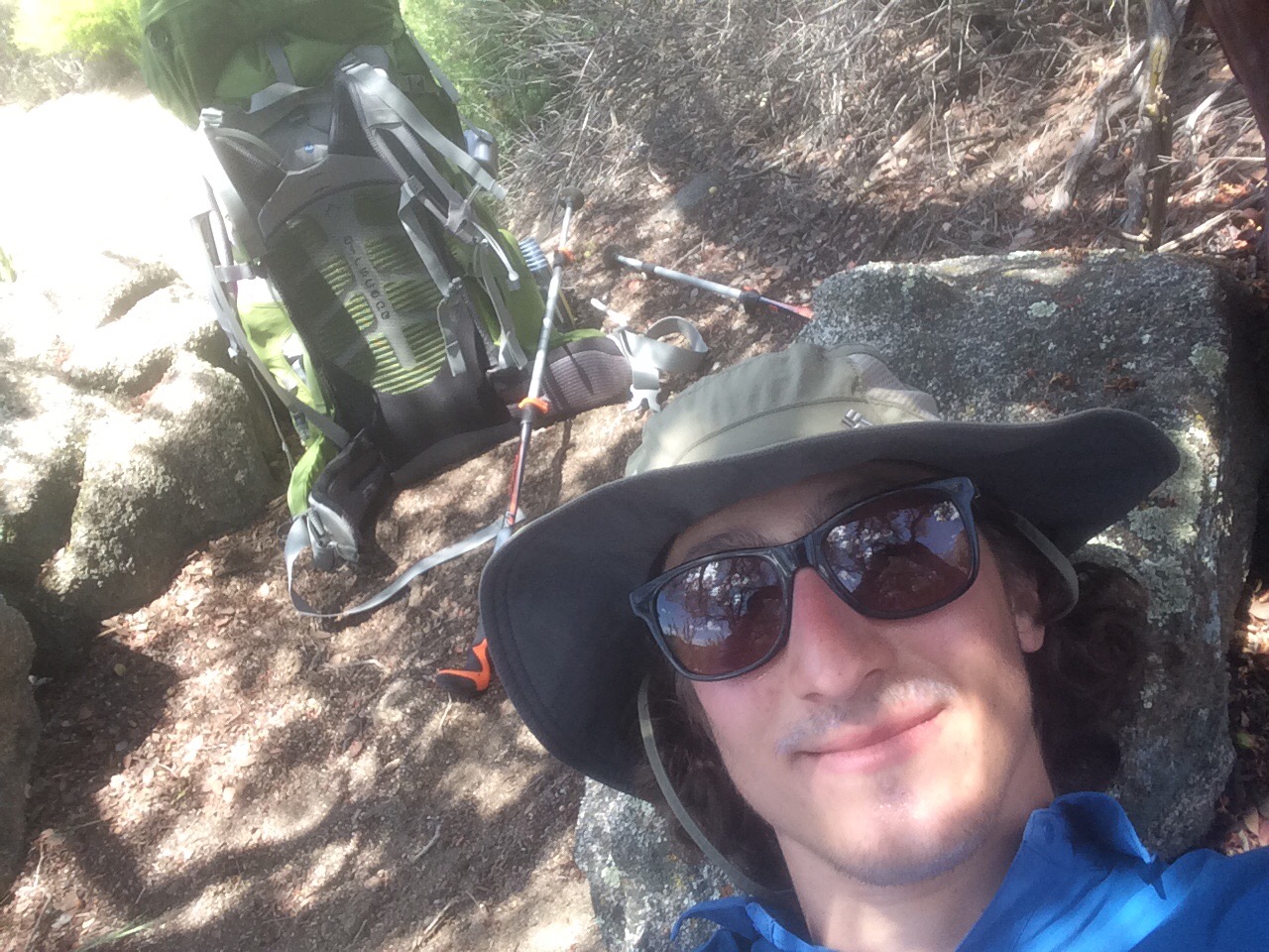
NEARO – 5.5 Miles and that’s it! Feels good to take it easy every once in a while. At mile 205.

Day 18:

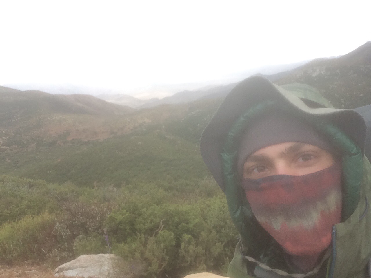
We got out of there by 4:45am! Already we have done better than I expected! Proud of us already.

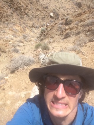
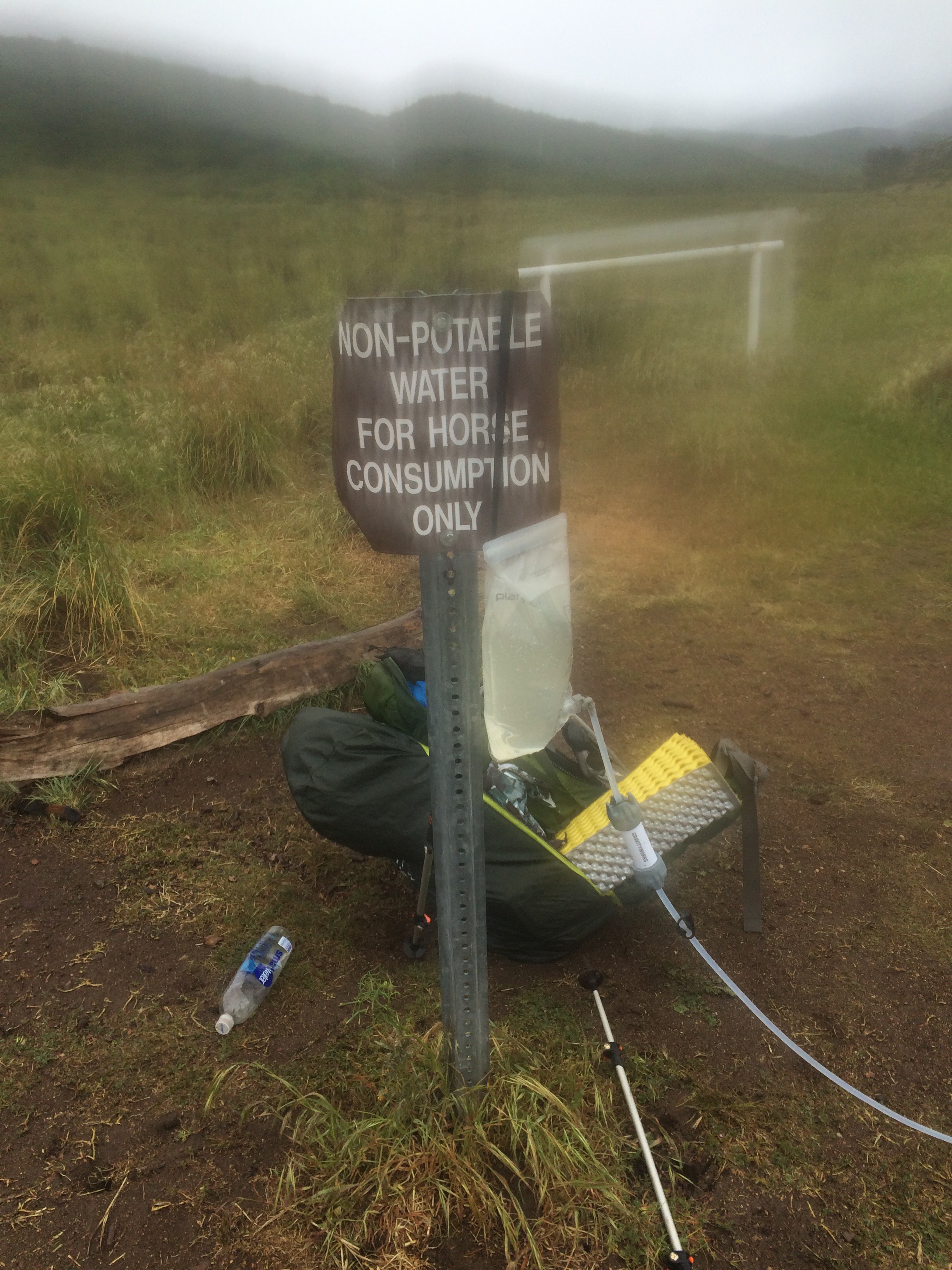
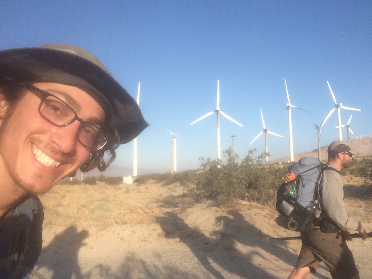
Why didn’t more people do the walkaround? It’s pretty cool so far. We walked through a field of wind turbines. SO SURREAL.

So confession, I had originally planned on bailing after 10 miles, since I didn’t think I could handle 24 miles of road walking (the asphalt is rough on the body… NOT good for you), so I booked and AirBNB in Morongo Valley.

Good news part A: I still felt strong after 10 miles and decided to push on.

Good news part B: the guys were totally cool about it, and we decided to chill there until the sun let up.

FINALLY TOOK A SHOWER

Headed out by 5pm, and hiked along the highway, for a long time.

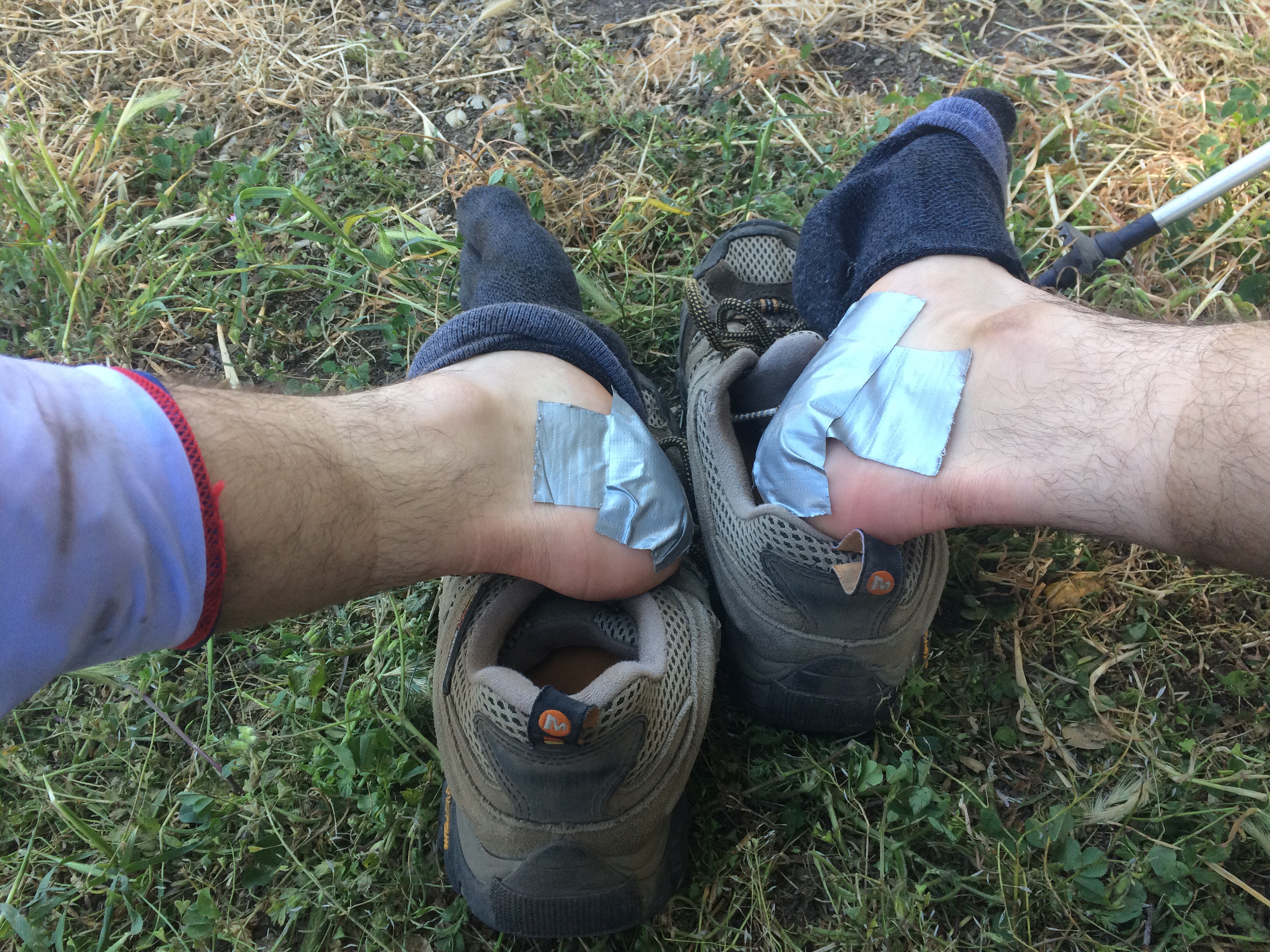
My left shin started to seriously bother me (and bother is putting it very lightly), and it just got worse as the day went on. NOW I get why people didn’t do the walk around… 

BUT WE MADE IT. 24 MILES. YOU CAN JUST DECIDE TO DO THAT!

But my shin is REALLY hurting now. Not sure how I will feel tomorrow. But for tonight, I feel victorious.

Sleeping in an ACTUAL BED at the Travel Lodge, in Yucca Valley, CA.

Turbine town:

Video (some redundancy with the previous post… deal with it):

Bonus footage:


​​

Episode 10: Day 16

Due to yesterday’s late night push to find water, this is the first morning I’m not waking up feeling fresh. I guess my body isn’t so happy with me at the moment. Feet and ankles are definitely yelling at me.
Today went downhill, both literally and figuratively. I actually ran out of food by lunchtime (Yeah, yesterday I ran out of water, and today food. I’m on a roll…). So, I’m feeling pretty badly about that. And just as I was trying to strategize surviving the rest of the day…

TRAIL MAGIC

A trail angel, Seesaw, brought a cooler full of apples, oranges, watermelon, orange juice, water, and beer.

I immediately ate 2 apples, an orange, and chugged  4 cups of juice. After a quick rest, I took 3 oranges to go and went on my way, spirits lifted high! 

Eventually, my sugar rush wore off, and I was back to hungry hiking. And then came the rain…

TOUGH, WET, COLD MILES. Ryan passed by, and we talked. I told him I was calling it at 200, and I would do the final 10 to Ziggy and the Bear in the morning (I did not tell him that I was going to do that with no food). Then he zoomed away and I pushed on, step…by…step…

And then I hit marker 200:

And Ryan, knowing I was having a rough time, left me a gift:

KINDNESS IS AMAZING

Seeing that put a smile on my face and gave me such a morale boost, I churned out an additional four and a half miles!!!

Mile 200!:

Today I descended from 9,000 ft to just over 1,000 feet. 

Camped at mile 204.5. 

No video due to low/no phone battery. 

Episode 9: Day 11-15

Day 11:

12 Miles – trail side campsite to cache at mi 145

HIKER HUNGER IS REAL. I knew it was bad, but I borrowed food from future days… We will see how it turns out.

I gave someone a trail name today: Peanut. I followed her peanut shaped footprints ALL DAY.

Day 12:

Cache at mi 145 to small shady campsite at 159. 14 miles.

So hot! Had to rotate between hiking and resting for a majority of the day.

Hiked and camped solo. 

Day 13:

Rest day! 0 miles

Day 14:

I hit the first trail closure. Decided to hike around it. 

11 miles. Small shady campsite to Hurkey Creek Campsite.

Camped with Green Lantern, Clean  Sweep, Shilo, and Mademoiselle.

Day 15:

15+ miles. Hurkey Creek Campsite to creek at mi 185.

TOUGH MILES. TOUGH DAY.

Made it around the closure, climbed from 5,000 ft to 9,000 feet.

Hiked with Stephen for almost the entire day. 

Had to face my fear of night hiking in the woods to avoid running out of water. Priorities people…

Cloudy day:


Tahquitz Peak:

What a wonderful world:

First ice/snow!:

Have I made it to Narnia?:

Video:

Bonus footage (my strap blocks the camera for much of the video, but it’s a good story nonetheless):


Episode 8: Day 8-10

Due to some poor planning on my part, my phone has been either extremely low or out of battery for the past several days. But I’ll do my best to catch you up.
Day 8-9:

8: 

Biggest day yet! Hiked 22 miles. Riverbed campsite to beach like campsite. 

Found a really good rythm early on in the day, and reached a major milestone – 100 miles!

Rosie and Amy joined me once again, and most graciously brought me a food resupply and a new tent (oh ya, my tent was broken). THANK YOU! 🙂

I found it so interesting that they hiked with me for my 1st and 99th mile. Even better, Rosie joined me for two days on trail. Better yet, we hiked through the most beautiful part of the PCT that I have experienced thus far. Right after Warner Springs, you walk through meadows over rolling hills through herds of cows, and as you walk, hundreds of grasshoppers bounce around your feet. All this, with the backdrop of the mountains that you climbed on one side, and the mountains that you are about to climb on the other. 

9:

14 Miles. Beach like campsite to campsite among boulders

Great day. Long break to jam out by the creek. Rosie headed home, now back to hiking solo.

Made 100 Miles!:


Fields of beauty:

Joyous jamming:

Day 10: 

14 Miles: Boulder campsite to trail side campsite. 

Played ukulele and sang all morning at THE MOST BEAUTIFUL CAMPSITE. Apparently I had an audience for a bit, hence I earned a trail name, Troubadour,which means “a traveling musician.”

There are at least three rumors going around on how I earned the name:

1) I play ukulele at camp, during siestas, and any other time I don’t have my pack on.

2) I sing to myself (pretty loudly) as I hike.

3) Due to my bean heavy trail food diet… I’m sure you can guess the rest. 

Anyway…

Took a siesta at Mike’s place: 


No video this update, due to low/no phone battery. 

Episode 7: Day 6-7

Day 6:

SLEEP

EAT

READ (I read the entirety of “All Quiet on the Western Front.” Great book by the way.)

REPEAT

0 Miles

Day 7:

Biggest day yet! 18 miles… (And my feet officially hurt).

Hiked from mile 68 to 86. I’m the the middle of another dry stretch, this one is 33 miles. BUT, there is supposedly a very reliable cache, the “3rd gate cache” in 5 or so miles. So I definitely have enough water to get there… but not much further. The water report (updated almost daily) shows that it is well stocked. We shall see! 

Don’t look down!:

My reward for putting in a hard days work:


Video:

Episode 6: Day 5

COLD

WET

WINDY

That pretty much sums up my fifth day on trail.

Hiked 12 miles up to Rodriguez Spring Road (last water source for a long while). 

Going to take a zero day tomorrow, a day of rest as they call it in the front country. 

Beautiful hiking weather:


The rain on the trail falls mainly on Max:


#SAVETHEHORSES:


Keeping myself occupied as the water filter does its thing:


Video:

Episode 5: Day 3-4

Day 3:

Boulder Oaks to Mount Laguna = 15 Miles

Highest highs and lowest lows

The hike up to Mount Laguna is magnificent. Every turn brings yet another spectacular view. Definitely the most enjoyable hiking so far:

BUT, just as I was getting confident, I decided to do some night hiking… alone… in a heavily wooded area. I might have had a mini panic attack or I might not have, who really knows? All that matters is that I eventually reunited with some friends and set up camp with them.

Siesta (treating my feet right!):


Its the climb:


Almost there!:

Day 4:

Desert View:


Filtering some water:


I spy a with my little eye…

Cold gear:

Mile Marker 50 (unofficial):


MADE IT TO THE BIG FIVE-O

50 MILES PEOPLE. 50 MILES. WITH MY FEET. 

Cold up here at 5000+ feet above sea level. Finally had to break out my cold gear. 

AND THAT WIND WAS HECTIC. My pack was a fully functional rudder, turning my body in whichever way the wind blew. The only things that stopped me from falling was my trekking poles, for which I am extremely grateful for. 

Today I hiked for a stretch with Beardo, SweetPea, Proton, Ace, and MountainMan.

Mount Laguna to Boulder Field Campsite = 15 Miles

Lessons learned: When you get to camp, there are two things that you DESPARATELY want to do: take off your shoes and make dinner. It is ESSENTIAL that you set up your shelter first, for two reasons. 1) weather can change quickly and you may want immediate cover and 2) once you sit down for a few minutes, you won’t have the willpower necessary to setup your tent. 

I tried a new video style. Let me know what you think. Would you prefer to see more of my beautiful face or more of the slightly more beautiful trail? 

Video Part 1:


Video Part 2:

Episode 4: Day 2

I don’t plan on a daily post for the whole trail, but today was pretty eventful and memorable, so here it is. 

Stretched my remaining water until Lake Morena. Seeing that lake was such a RELIEF!

I’m hiking at the same pace as a couple of other guys (Tuesday and Coconut – for those of you who don’t know, people get nicknames on the trail, called trail names), so we have been hanging out during breaks and camping together (no two people have the exact same hiking speed).

Hiked 11 miles today, so I’m at mile 26! I’m quite happy with that. I’m even more happy that as I eat my pack gets lighter and there won’t be another dry stretch for a long while, so I don’t have to carry as much water. Woohoo!

FIRST TRAIL MAGIC. At the campsite, there was a guy giving out refreshments to any hiker that came through. I partook in a snickers bar and some ice cold coca-cola. Yum. THANK YOU STEVE FROM BOULDER OAKS!!! 

Great View (although I don’t think the selfie camera did it justice):


Siesta:


Blister Care:

Video Update:

Episode 3: Day 1

Day 1 on the PCT

WHAT A DAY!

I’m here, and this is really happening.

So ecstatic and grateful to be hiking the Pacific Crest Trail.

Hiked 15 miles today to Howser Creek. Couldn’t bust out the 20 miles to get to Lake Morena (and the first water source on the trail. Maybe it had something to do with my 64 pound pack. Don’t ask…) I should have enough water to get me there tomorrow. Although I did lose a cap to one of my water bottles. Not ideal. But at least it fell off the cliff and not anything (or anyone) else. 

Feet are a little banged up but I’m feeling great overall. 

So appreciative of hot meal and a cozy bed.

Goodnight my friends!

Special thanks to my friend Rosie and her mom Amy for helping me get a glorious start. 


My kickoff crew:


Mile 1! I haven’t gotten lost yet:


Siesta time!

Video:

Episode 2: Pre-Trail Part 2

Now that I have all my gear and clothing, I’m trying to figure out what fits where in my pack (and on my person, which is more difficult than you would think!). 

Logistical challenges aside, I am incredibly excited for this trip. So many things are going to happen over the next five months, most of which I am not aware of (and the things I am aware of already seem epic!). 

I would also like to say that I am so happy and humbled that so many people have showed interest in following my hike. Thank you (yes, YOU!) for your love and support! 

This is my last post before I head to California. Next update will be from on trail!!!

Below is my setup for different scenarios I may face:

When in the desert:


When in the rain:


When in the snow:


When surrounded by bears:


And a video update: